We said goodbye to Frank as we headed out. The Killarney area is tremendously beautiful and we didn't even scratch the surface of what you can see. The town center is super active and full of shopping, but the surrounding national park is quiet and quite expansive.
Our Dingle Peninsula road trip was about to start. We have heard stories about narrow roads and grand cliff views. Let's get going!
Bye Frank!
We started in the SE area of the map below and headed to Inch beach, then to Dingle for lunch, and around through Dunquin with the narrow roads on the Slea Head Drive, and then to the north over Conor Pass all the way to Tralee. Whew!
Surfing at Inch Beach!?! There was a surf camp taking place on the super cold and windy beach. These people are insane!
Katherine took this for my dad. It looks like the whole place is insulated from the look of the doors.
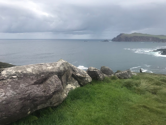
Numerous places along the drive had pullouts for cliff viewing. At one place, Andrew and I got out and walked way down the cliff for pictures, and this is what we came back to. This wasn't this birds first rodeo. He wanted food and was giving us the stare down from the hood of the Stonic.
We arrived in Dingle for an early lunch, but needed to kill some time before the restaurants opened. The village streets are so beautiful with the old buildings all in different colors.
The Dingle harbor is nestled away from the Atlantic's fury. We had a little rain, a little sun, and then back and forth. You never know what the weather will bring.
Eating at The Boatyard Restaurant.
We stopped at another surf spot on the north of the peninsula with more wind and rain. The waves actually looked pretty good with good breaks visible from the highway.
The top of Conor pass, which in Irish means "Pass" Pass. Ha!
The Ashe Hotel in Tralee. This place is pretty fancy.
What a great way to map out Ireland!


No comments:
Post a Comment